Three revolutions, three instruments
The story of how humans went from scattered foraging bands to farms, villages, cities, and states used to be told from potsherds, postholes, and a handful of radiocarbon dates with error bars wide enough to argue a monarch’s reign into the wrong century. That story is being rewritten today by three instruments that did not exist in a usable form twenty years ago: airborne laser scanning (LiDAR) that sees through rainforest canopy to bare earth, ancient DNA sequencing that recovers kinship and ancestry directly from bone rather than inferring it from pots and grave goods, and high-resolution paleoclimate archives — cave speleothems, lake sediment cores, tree rings — that date drought and flood to within years rather than centuries. Each has already overturned a specific, textbook-stated fact about early complex societies. None has settled the largest arguments. This article lays out what the current evidence supports, what remains contested, and three explicit, falsifiable bets about where each debate will stand in 2035.
This is deliberately not a triumphal account of steady progress. Archaeology’s last decade shows a field whose empirical base is expanding unevenly — explosively in some regions and methods, barely at all in others — and whose biggest theoretical fight, over whether hierarchy was ever really inevitable, has not converged even as the underlying data pile up on both sides. Separating what is established fact, what is a claim made by researchers with an interest in a result, what is defensible analysis, and what is a scenario about the future matters more here than in most historical writing, because all four keep getting run together in popular treatments of this material.
What domestication actually looked like, closer up
The old model of domestication was a single-location, single-event story: one wild grass, one valley, one moment when a population crossed from wild to tame. Ancient plant genomics has replaced that with something messier. A 2023 population-genomic analysis of wild and domesticated einkorn wheat (Triticum monococcum) found that the crop’s history involved repeated hybridization and introgression between managed and wild populations well after an initial domestication event, with genetic material moving back into cultivated lineages from wild relatives as farming spread into new regions [9]. Wheat domestication, in other words, was not a single clean break but a prolonged, geographically diffuse process in which wild and cultivated populations kept exchanging genes for generations. This is a fact established by direct genomic evidence, not an inference from tool typology, and it changes how domestication should be modeled in every other founder crop where dense ancient-genomic sampling eventually becomes possible.
Animal domestication carried a cost that is easy to omit from a story about progress: it opened new channels for pathogens to move between species. A widely cited synthesis in the Proceedings of the National Academy of Sciences documented that agricultural intensification and closer human-livestock contact are linked to the emergence of zoonotic pathogens, tracing how sustained proximity between humans, domesticated animals, and human settlements creates conditions favorable to cross-species disease transmission [8]. This is now close to a consensus empirical finding rather than a contested claim: the same domestication package that stabilized food supply also stabilized new disease reservoirs. What remains genuinely open is the region-by-region timing and scale of that effect before written records begin, because it depends on skeletal and ancient-pathogen evidence that is sparse for most of the world outside western Eurasia.
Settlement, before the state
Before there were states, there were settlements large enough to need infrastructure but without any evidence of a centralized ruling apparatus. Çatalhöyük, in central Anatolia, occupied roughly from 7100 to 5950 BCE, is the clearest single case. Houses at the site are strikingly uniform in floor area and contents; there is no building that reads unambiguously as a palace, temple, or elite residence set apart from the rest. A 2024 study in Science sequenced 131 paleogenomes from burials across the site’s occupation and found that biological relatedness clustered within houses along maternal lines, with women more likely to remain associated with a home across generations while men moved between households — a pattern consistent with matrilineal, matrilocal kinship organization that shifted over the settlement’s roughly 1,150-year occupation [3]. This is a genuinely new, hard, DNA-based fact about social organization at one of the best-studied Neolithic sites in the world — not an inference from house size any longer, but direct evidence of who was related to whom and how residence was structured.
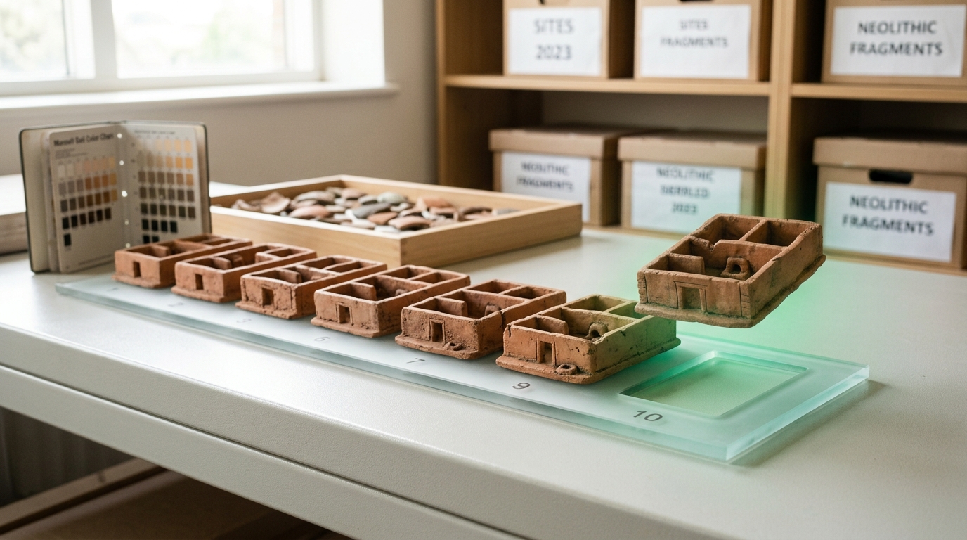
What that finding does not do is settle the larger argument about whether Çatalhöyük’s flat material culture reflects a genuinely non-hierarchical society, or whether hierarchy at this scale simply left no durable material trace — no throne, no seal, no separate compound — while still functioning through kinship authority, ritual specialists, or informal status that archaeology cannot currently detect from bones and floor plans alone. The kinship data narrows the space of plausible social structures; it does not close the question of whether “egalitarian” is the right word for what was happening inside those houses.
The revisionist thesis and its critics
David Graeber and David Wengrow’s 2021 book The Dawn of Everything argued, at length, that the standard sequence — foraging, then farming, then irreversible hierarchy, then the state — is largely a modern myth [11]. They marshaled cases of societies that appear to have moved between hierarchical and egalitarian organization seasonally, cities with no evidence of centralized rule for centuries, and early administrative systems that look nothing like a monarchy. The book’s popular reception was enormous, and its central claim — that hierarchy was a choice societies could make and unmake, not a one-way ratchet locked in by agriculture and cities — has become a genuine reference point in public discussion of deep history.
Professional reception has been considerably more divided. A detailed critical review in Historical Materialism argues that the book leans heavily on ethnographic descriptions of 17th- to 19th-century societies and projects them onto Neolithic and pre-Neolithic contexts as though the analogy were secure, and that its anti-linear argument, while directionally reasonable, is asserted more forcefully than the archaeological case supports in several of its marquee examples [10]. This is not a fringe objection; versions of it recur across specialist reviews from archaeologists working on the specific sites Graeber and Wengrow cite. The honest state of the field, as of this writing, is a real disagreement rather than a settled correction: the revisionist camp holds that mainstream archaeology under-weights genuine cases of reversible or optional hierarchy, and its critics hold that the book’s most striking cases are analogically overreached even where its general point — that no single trajectory from farming to statehood was inevitable — is broadly fair.
Reading climate directly off the landscape
Two of the best-documented civilizational contractions in the ancient world are now dated independently of any textual or ceramic chronology, using climate proxies alone. In the Indus Valley, isotopic and sedimentary evidence from paleolake and paleochannel deposits shows that the Mature Harappan urban phase coincided with a strong summer monsoon, and that urban contraction after roughly 1900 BCE tracks a documented weakening of that monsoon system rather than any recorded invasion or internal conflict [6]. A stalagmite-based reconstruction from northeast India adds finer resolution, showing an abrupt monsoon intensification around 4,000 years before present that aligns with the Indus civilization’s period of maximal urbanization, followed by weakening consistent with the subsequent dispersal of population out of the largest cities [7].
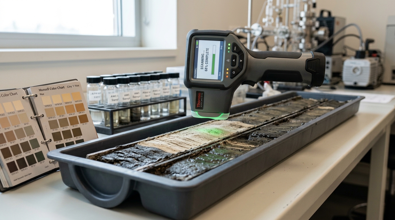
This is genuine, independently dated evidence — not the older, weaker style of argument that simply pointed at an abandoned city and a nearby drought legend and asserted causation. But independent dating of a climate signal and independent dating of an urban contraction is still correlation between two well-measured trends, not a demonstrated mechanism connecting them at the level of individual households, granaries, or administrative decisions. Reviewers of the broader 4.2-kiloyear-event literature have noted that establishing causal links between regional aridification and specific societal outcomes remains difficult where the archaeological chronology carries decades of radiocarbon uncertainty even after the climate chronology is tight — the climate side of the argument has gotten much stronger over the past decade; the causal-mechanism side has gotten only somewhat stronger.
What LiDAR has actually changed
The clearest empirical shift in the field over the past decade concerns simple settlement counting. A 2018 airborne laser scanning survey covering more than 2,100 square kilometers of the Maya lowlands in northern Guatemala found dense networks of causeways, agricultural terracing, and defensive earthworks connecting settlements previously assumed to be isolated centers, implying substantially higher regional population and infrastructure investment than prior ground-survey estimates had supported [1]. A separate 2021 lidar survey of the Puuc region of Yucatán documented settlement density and causeway networks at a comparable resolution, reinforcing that ground survey — walking transects and mapping visible mounds — had been systematically undercounting settlement in forested terrain, not merely missing a few outlying sites [2].
The pattern generalizes: wherever airborne laser scanning has been applied at scale to a forested region with prior ground survey, the corrected settlement count and inferred population have gone up, sometimes by a large multiple. That is now a fact with multiple independent replications rather than a one-off headline result. What is not yet established is the rate at which this correction will continue as LiDAR coverage expands into the remaining unsurveyed forested regions of the tropics — whether the discovery rate holds, accelerates because researchers are getting better at reading the point clouds, or decelerates because the highest-density regions have already been flown.
Where the sampling still fails
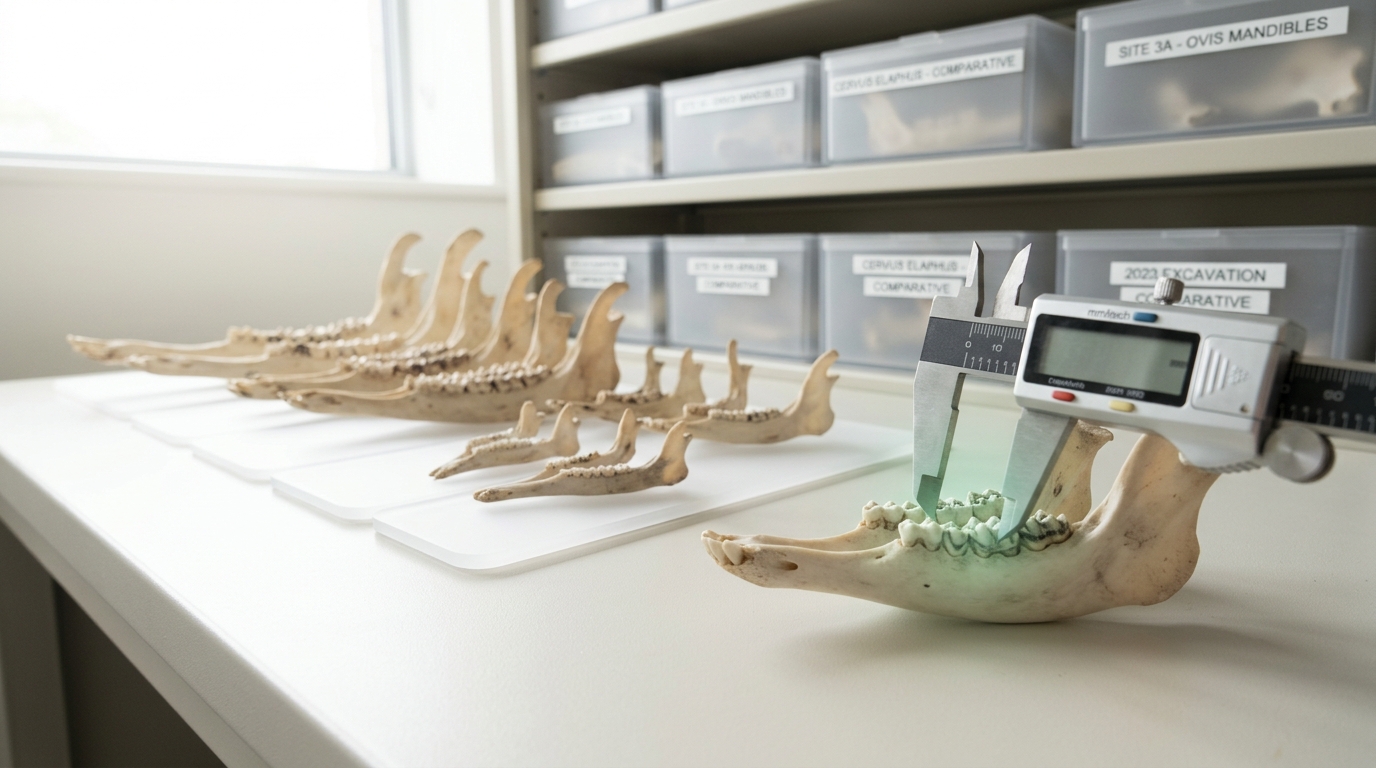
Ancient DNA has transformed the study of migration, admixture, and kinship almost everywhere it has been applied at scale — and it has been applied at scale almost nowhere outside Europe and parts of West Asia. A 2022 study assembling ancient genomes from sub-Saharan African foragers explicitly framed its own contribution as beginning to correct a severe imbalance: as of that analysis, fewer than a hundred ancient genomes had been published from the entire African continent, against many thousands from Europe [5]. A follow-up 2024 analysis extending the time depth of African ancient DNA and examining Bantu-speaking population history over the past several thousand years made real progress narrowing that gap, but explicitly characterized the African ancient-genomic record as still far behind the density achieved elsewhere, particularly outside the small number of regions with cool, dry preservation conditions [4]. South Asia’s ancient-DNA record is thinner still relative to its population history’s importance for understanding the spread of farming, the Indus civilization, and later migrations.

This is not a minor technical footnote. Conclusions about global patterns of migration, gene-culture coevolution, and disease history that are stated as though they apply worldwide are frequently built on genomic sampling concentrated in a handful of well-preserved, well-funded, temperate regions. Preservation chemistry is a real constraint — tropical heat and humidity degrade DNA far faster than cold, dry conditions — but funding geography, existing lab infrastructure, and colonial-era collection histories that shape what skeletal material museums even hold are documented, addressable factors layered on top of the preservation problem, not equivalent to it.
Three falsifiable scenarios for 2035
The following are explicit predictions, not just expectations dressed as forecasts. Each states a horizon, the assumptions it depends on, the observable indicators that would count as confirmation, and — this is the point of stating them this way — the specific finding that would prove the prediction wrong.
Scenario 1: LiDAR-driven settlement discovery keeps accelerating through 2035. Horizon: by 2035. Assumption: airborne and satellite-borne laser scanning coverage of tropical forested regions (Mesoamerica, the Congo Basin, mainland Southeast Asia, Amazonia) continues to expand roughly in line with the falling cost of acquisition and processing that has driven the past decade’s surveys. Observable indicators that would confirm this scenario: at least two more region-scale surveys (comparable in area to the 2018 Guatemala survey) published in peer-reviewed venues reporting settlement density corrections of a similar or larger magnitude than [1] and [2]; continued growth in automated point-cloud classification reducing the manual-interpretation bottleneck that currently limits how fast raw flights convert into published settlement maps. Disconfirmation condition: if, by 2035, newly flown regions in comparable forested terrain show settlement density corrections converging toward zero — meaning ground survey estimates and lidar-corrected estimates start to agree rather than diverge — that would indicate the “hidden settlement” effect was a one-time correction for a specific historical undercounting problem rather than an ongoing discovery frontier, and the scenario would be falsified.
Scenario 2: the Graeber–Wengrow revisionist thesis loses rather than gains mainstream archaeological support. Horizon: by 2035. Assumption: the debate is resolved less by new grand theory and more by accumulating site-specific evidence — like the Çatalhöyük kinship genomics — that either supports or undercuts the book’s specific case studies one at a time. Observable indicators of the thesis losing ground: a majority of new peer-reviewed archaeological literature on the book’s marquee cases (Çatalhöyük, Poverty Point, the “seasonal” hierarchy claims about specific Northwest Coast and Plains societies) finding that the sites’ social organization was more consistently structured, or more consistently hierarchical in ways previously underappreciated, than the revisionist reading proposed — the direction the [3] kinship result already points, since it found a specific, stable, generations-deep structuring principle rather than the fluid, undetermined social organization the revisionist framing emphasizes. Disconfirmation condition for this specific prediction: if instead new site-level evidence over the same period (comparable genomic or high-resolution spatial studies at additional sites) repeatedly turns up cases of demonstrated seasonal or reversible hierarchy at a rate matching or exceeding the book’s claims, the thesis would be gaining support, not losing it, and this prediction would be falsified.
Scenario 3: the ancient-DNA sampling gap in Africa and South Asia narrows but does not close by 2035. Horizon: by 2035. Assumptions: preservation chemistry in most of tropical Africa and South Asia remains a hard physical constraint that no plausible funding increase fully overcomes, while funding and infrastructure gaps are addressable and partially will be addressed given the trajectory from [5] to [4] over roughly two years. Observable indicators: published ancient African genome counts continuing to grow at a rate visible in year-over-year tallies from major ancient-DNA databases (such as the Allen Ancient DNA Resource), concentrated disproportionately in cooler, drier, or high-altitude sub-regions where preservation is better, while lowland tropical West and Central Africa and much of South Asia remain comparatively sparse. Disconfirmation condition: if by 2035 published ancient genome counts from sub-Saharan Africa and South Asia combined reach even half the per-capita density currently available for Europe — correcting for population history duration, not just raw count — that would indicate the gap is closing far faster than preservation chemistry alone would predict, meaning funding and infrastructure were the dominant constraint all along, and this more cautious prediction would be falsified in the optimistic direction.

Trade, infrastructure, and the parts of the record climate and DNA cannot reach
Not every question about early complexity is one that lidar, ancient genomics, or paleoclimate archives can answer, and it is worth being explicit about the residual category rather than implying the three instruments cover the whole field. Long-distance trade is the clearest case. The standardized weights, seals, and brick ratios documented across Indus Valley sites are physical, measurable facts: bricks across widely separated Harappan settlements were built to a consistent height-to-width-to-length ratio, and carved stone seals depicting the same iconographic conventions turn up as far away as Mesopotamian sites, indicating sustained exchange over a distance of well over a thousand kilometers. That is a fact about material culture, established the old-fashioned way, through typology and find-context comparison, and no new instrument has displaced it — remote sensing can locate more settlements along a plausible trade corridor, but it cannot by itself demonstrate that goods moved between them, and ancient DNA speaks to who was related to whom, not what they carried or traded. Reconstructing exchange networks still depends on artifact sourcing (isotopic or trace-element fingerprinting of raw materials back to their geological origin), which is a fourth method distinct from the three emphasized above and advancing on its own, slower timeline.
Infrastructure investment is a related case where the evidence is strong but the interpretation is contested. The causeways, terraces, and water-management features that lidar has revealed across the Maya lowlands demonstrate large, coordinated labor investment — building a raised causeway several kilometers long is not something a single household organizes on its own initiative. Whether that coordination implies a centralized authority capable of compelling labor, a decentralized system of reciprocal obligation between neighboring communities, or some combination that varied by period and region, is not settled by the presence of the infrastructure itself. This is exactly the kind of case the Graeber–Wengrow debate turns on: large-scale coordination is real and measurable; the political form that produced it is inferred, and inference is where the disagreement lives.
State formation more generally resists any single-instrument resolution because a state is, at bottom, a set of durable claims about who has legitimate authority to extract labor, resources, or obedience — and that is a social fact that leaves indirect traces (monumental architecture, administrative records, fortifications, evidence of coerced labor in skeletal stress patterns) rather than a fact any scanner reads directly off the ground. The clearest gains over the next decade are likely to come from combining instruments rather than from any one of them individually: a lidar-mapped settlement hierarchy, cross-referenced against ancient-DNA kinship data from its cemeteries and isotope-based labor-stress evidence from its skeletons, gives a fuller picture of centralized authority than any single method could on its own. That combination is exactly what remains hardest to fund and staff outside a small number of well-resourced regional projects, which is part of why the sampling-gap problem in the third scenario above matters beyond ancestry and migration questions — it also limits how well state-formation questions can be answered outside Eurasia.
Reading these forecasts honestly
None of these three scenarios is a coin flip dressed up as expertise; each is a bet built on a specific trend that is already visible in the published record, extended forward under a stated assumption. That is different from a confident forecast that a given outcome will happen, and different again from treating any of the underlying source claims as more certain than they are. The lidar settlement-discovery trend rests on genuine multi-site replication. The kinship evidence from Çatalhöyük is a hard genomic result about one site’s internal structure, not a verdict on the revisionist thesis as a whole, which is why the second scenario is framed around the direction of accumulating site-specific evidence rather than a single knockout finding. The sampling-gap prediction is the most conservative of the three precisely because it is fighting a physical constraint — DNA degradation in heat and humidity — that funding cannot simply outrun, however much institutional will accumulates behind closing it.
What should not survive contact with any of this evidence is the flattened popular version of the story, in which agriculture straightforwardly caused hierarchy, hierarchy straightforwardly caused the state, and the whole sequence ran the same way everywhere. The genomic, remote-sensing, and paleoclimate records agree on very little except that the actual history was more regionally various, more reversible in places, and less textually documented in exactly the regions where population history was largest, than a single-line narrative can hold. Getting the sampling right — geographically, not just methodologically — is now as large a determinant of what the field concludes about human complexity as any single new technique, and it is the one factor in this article’s three scenarios that current funding and preservation constraints make hardest to fix on any predictable timeline.